Auroville Water Strategy
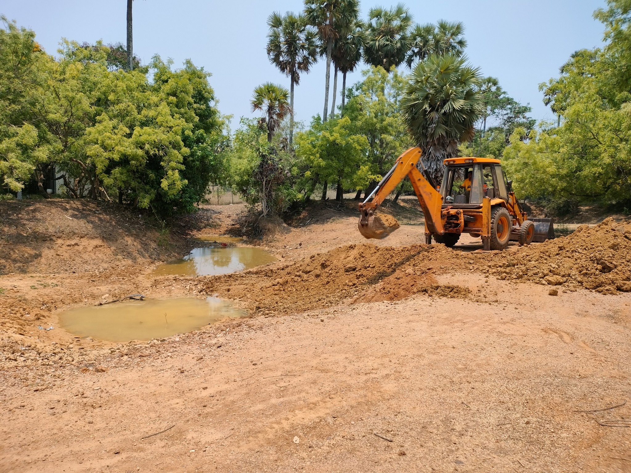
Auroville is well-known for its successful reforestation work which contributes to groundwater recharge and for its rainwater harvesting initiatives through building earth bunds to retain water and facilitate its percolation into the ground. Auroville is also known for its timely construction of check-dams along canyons and ravines to control erosion during the monsoon and to enable water percolation. Active in its research on and implementation of natural wastewater treatment systems and their re-use, Auroville is carrying out programmes of tank rehabilitation in the bio-region.

Located on the southeast coast of India, Auroville is situated roughly 10 kms from the nearby city of Puducherry. Before the start of Auroville in 1968, the landscape was a barren plateau: centuries of deforestation of valuable tropical woods by the British, French, Dutch and local Tamil people not only stripped the land of all its vegetation but largely contributed to the erosion by monsoon storms of the surface top soil. Without the top soil able to absorb the rain, the water mass flowed down into the Bay of Bengal, carving canyons and ravines on its way.
Auroville’s early pioneers created a fledgling forest by planting trees, regenerating the topsoil and creating a sponge-like top layer, able to absorb the rain. Bunds and check dams were built to stop the torrential flow of storm rains to the sea and allow water to percolate into the aquifers. The landscape transformed itself.
Socioeconomic factors in the surrounding areas started playing a key role with the advent of the Green Revolution: new crops required more intensive, regular water usage, and a shift from shared common water resources to individual borewells took place, having a strong impact on groundwater, ultimately resulting in the depletion of the aquifers. In addition, the population of Puducherry has grown significantly since 1968; increasing urbanization has added further pressure on the aquifers to meet the needs of the expanding population.
Almost all the water used in Auroville and surrounding villages is sourced from the ground: the historic, traditionally used, village tanks (“erys” in the Tamil language), storing the harvested rainwater, have since long been neglected and are not maintained, thereby hampering their true potential as sustainable water sources for regional agriculture. The change of crops pattern, along with different practices adopted for farming, have impacted very heavily on the health of the aquifers, which are currently over-exploited and only poorly recharged. Lack of proper monitoring of the water situation in and around Auroville contributes to the problem and the lack of properly collected and managed data hampers any study aiming at finding long-term solutions.
Despite all the efforts, in and around Auroville, most of the runoff still flows into the sea. The area is also subject to industrial pollution and an overall environmental degradation is taking place. The water table level is lowering and the risk of sudden seawater intrusion along the coast and inland is increasing, due to water over-extraction from thousands of borewells.
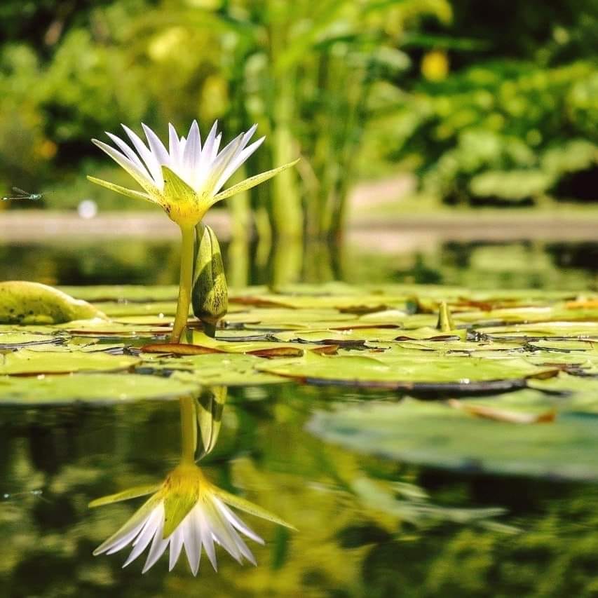
Auroville could help create awareness about the urgent need to change this trend by striving to become a working example of an integrated water management using a multisource system, with the combined usage of harvested rainwater, stormwater, recycled wastewater, groundwater and desalinated sea and brackish water (when possible). Such a model requires intelligent planning with regard to water. For example, water bodies, able to capture and store run-off and surface water, need to be integrated into the urban landscape from the planning phase. Immediate actions could be initiated to acquire regular, valid and consolidated data on water usage and consumption, topography, hydrology and hydrogeology in order to evaluate priority of actions to be started to move towards water security, in Auroville and its surrounding villages.
While celebrating the work Auroville has already accomplished with regard to water, it is necessary to take steps today to ensure a water secure future, especially in the face of climate change.
See Also
-
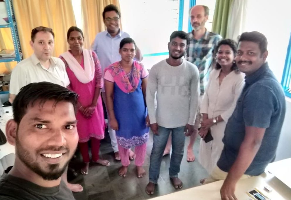
CSR Geomatics
Mapping Auroville's GeographyIn 2017, CSR – Auroville Centre for Scientific Research – created a CSR Geomatics cell. Geomatics is a discipline dedicated to the “collection, distribution, storage, analysis, processing, and presentation of geographic data or geographic information […] it consists of products, services and tools involved in the collection, integration and management of geographic data. It includes geomatics engineering (and surveying engineering) and is related to geospatial science (also geospatial engineering and geospatial technology).
